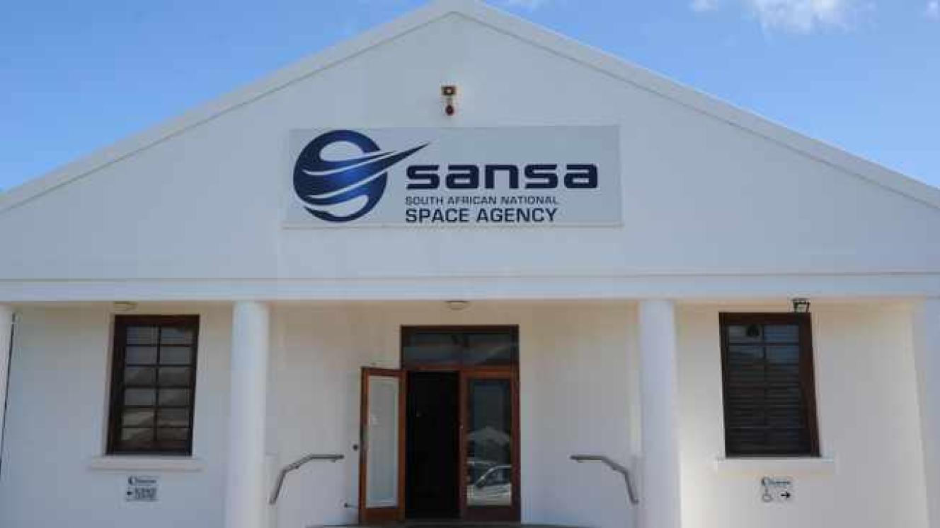
The South African National Space Agency (SANSA) and the Air Traffic and Navigation Services (ATNS) SOC Ltd has signed a Memorandum of Understanding (MOU) to increase co-operation between these two entities.
The MOU aims to strengthen the dynamic, integrated management of air traffic and air space with specific reference to operational and technological developments and alignment to international requirements in the field of aviation.
The areas of co-operation covered by this MOU include magnetic variations and the world magnetic model (WMM). SANSA has developed a regional magnetic model that allows for more regular and accurate geomagnetic field components than the WMM and as a result, SANSA is therefore able to provide the information to ATNS in accordance with user requirements.
Another area of co-operation between the two parties includes high frequency (HF) communications. ATNS currently deploys HF voice communications as a secondary means to communicate to aircraft within its oceanic area of responsibility. As a centre of excellence for HF communications, SANSA can provide propagation prediction and communication planning through its space weather centre and its unique software programme IOCAP, a modern, user-friendly HF frequency prediction application produced by SANSA.
ATNS provides a pre-flight information bulletin service for air navigation within South Africa which includes notice to airmen (NOTAM), weather (METAR info) and other related aviation notifications. ATNS foresee that value will be added by including space weather information. SANSA has been recognised as a designated space weather information provider to the aviation sector by the International Civil Aviation Organisation (ICAO). SANSA is also expanding space weather infrastructure and capability to ensure an ICAO compliant service. SANSA and ATNS can collaborate through this MOU to create awareness of space weather impacts and prepare the aviation community to utilise the information while ensuring ICAO compliance for the state and the region.
Other areas of potential co-operation include global navigation satellite system (GNSS) and digital terrain data and satellite imagery. In accordance with ICAO requirements, the signal integrity monitoring of GNSS is required by each state with the implementation of performance based navigation (PBN).


