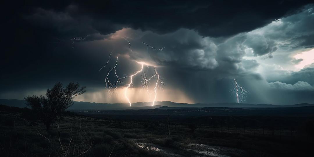
An exceptionally severe storm swept over Zurich on 13 July 2021 shortly before 2 am. Benedikt Soja, Professor of Space Geodesy, also got little sleep that night. The scale of the storm was evident the next morning – fallen trees, damaged rooftops and overhead tram lines pulled down in various parts of Zurich.
A GPS station on the roof of the Institute of Geodesy and Photogrammetry records the signals of various satellite systems around the clock. When examining the data of the night of the storm in more detail, Soja and his colleagues at the Institute couldn’t believe their eyes. “There were outages in the GPS data processing. We couldn’t understand at first what had caused them,” says Matthias Aichinger-Rosenberger, a former postdoc in Soja’s group and now a lecturer at ETH Zurich. When other stations also reported outages in the measurement of data from GPS and other satellite navigation systems for that night, the researchers started to analyse the raw data of the antenna on the Hönggerberg campus. They were able to show in the study that extreme weather events influence the quality of GPS signals and that these signals are therefore also suitable for detecting storms. It could one day even be possible to use them for the early detection and forecasting of thunderstorms. Read on


